Guide 03 Last checked · October 2026
Park access and daily routes: test them on a Tuesday.
Green space and commutes only count if they work on an ordinary weekday. This guide maps the St. Clair Shores parks worth planning around, explains the resident pass system, and shows you the streets you will actually drive, with a simple test for each one.
Grab the resident pass
The lakefront parks
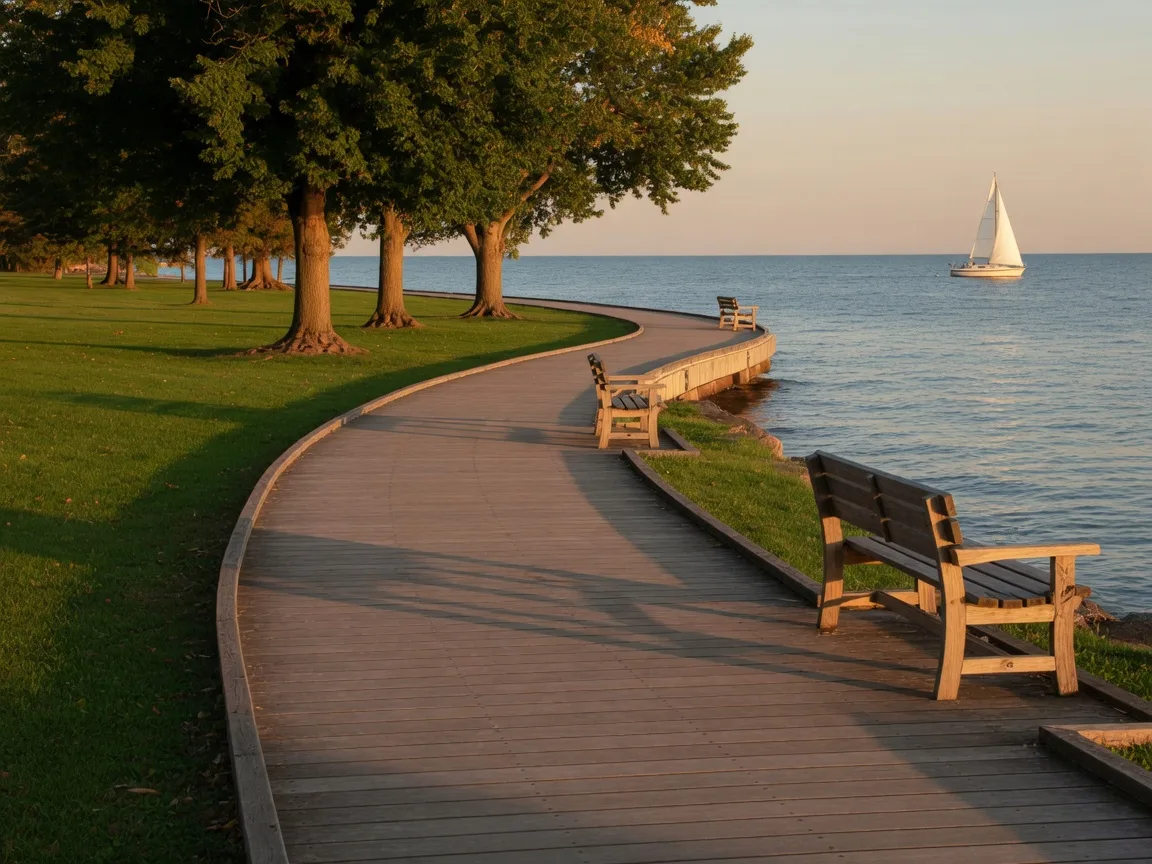
Four parks on Jefferson, all with the lake attached.
The city keeps these lakefront parks on Jefferson Avenue, and they run roughly dawn to dusk with a resident park pass required. That pass is the best deal in town, so budget for it and use it daily.
Blossom Heath Park
The lakefront classic with the beach house and the activity pier, and a full calendar of city events.
24800 Jefferson Ave
City of St. Clair ShoresVeterans Memorial Park
Splash pad, playground, fishing, bocce and shuffleboard courts, pavilions, and a concert venue.
32400 Jefferson Ave
City of St. Clair ShoresLac Sainte Clair Park
Behind City Hall and the library: pool, waterslide, marina with boat launch, fishing pier, and volleyball.
27600 Jefferson Ave
City of St. Clair ShoresWahby Park
The quiet one with a large pond and a domed gazebo, perfect for slow afternoons.
24800 Jefferson Ave
City of St. Clair ShoresBeyond the big four
Inland, the city adds neighborhood parks, the Brys Park Arboretum, and the Statler Maloof Dog Park. Lake St. Clair Metropark just south of the city line is a Huron-Clinton park with its own beach and open space, and the city library on Jefferson faces the lake too. A park day here can be a whole weekend without leaving town.
The daily routes
The streets you will know by heart.
Jefferson Avenue
The lakeside spine. Runs the whole shoreline, carries the parks and the Nautical Mile, and is where lake life happens.
Harper Avenue
The inland commercial strip with coffee, breakfast, and errands. The everyday loop for much of the city.
Greater Mack Avenue
Another reliable strip of shops and stops, crossing the middle of town north to south.
I-94 and I-696
I-94 runs the western edge and heads toward Detroit; I-696 ends where it meets I-94 at the city. Expect about 25 to 30 minutes downtown by car.
School assignments follow the address, so check the district boundary map for any home you love. And remember, the 25 to 30 minute downtown estimate is a starting point, your real commute is the one you time yourself.
The honest test
Parks and routes, tested like a local.
A park is not your park until you can get there on a Tuesday. A commute is not your commute until you have driven it on the Tuesday after a holiday weekend. Run the list below and the picture gets very clear, very fast.
The full drive-test methodThe Tuesday checklist
- Walk the park route at stroller pace, both ways
- Confirm the resident park pass for any lakefront park you plan to use
- Check sidewalk coverage for the whole walk, not just the first block
- Drive the school run and the errand loop on a real weekday
- Time the commute at your actual hour, not the showing hour
- Test parking once on a summer evening if the Nautical Mile is in your life
Deeper dives
Want a tour of the parks with your search?
We can structure your showing day around the actual routes, so you see the life, not just the house. What's the best that could happen?